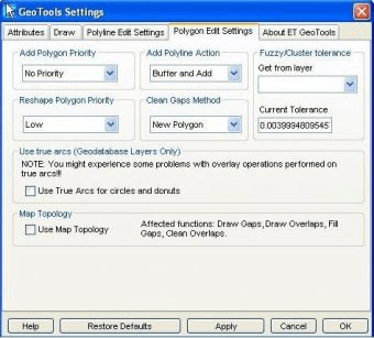
ET GeoTools improves the editing capabilites of ArcGIS, which is a geographic mapping tool. This program can help you identify and correct topology errors, add new geometries and maintaining topological relationships between the features, etc. It also offers a productive way of copying, editing, and pasting attribute data.

Comments