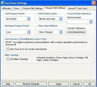
ET GeoTools is a set of tools for ArcGIS which purpose is to increase the editing productivity in ArcMap, give enhanced editing functionality to the ArcView users and enable them to create and maintain topologically correct datasets. It allows you to identify topology errors – draw nodes and duplicates for polyline layers, gaps and overlaps for polygon layers.

ArcGIS Engine is a complete library of embeddable GIS components for developers.
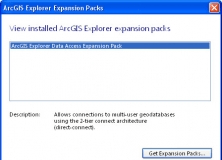
It expands the geodatabase functionality of the ArcGIS Explorer Desktop app.

It is a plug-in that provides interoperability between AutoCAD and ArcGIS.


Comments